What Affects Rates in San Diego
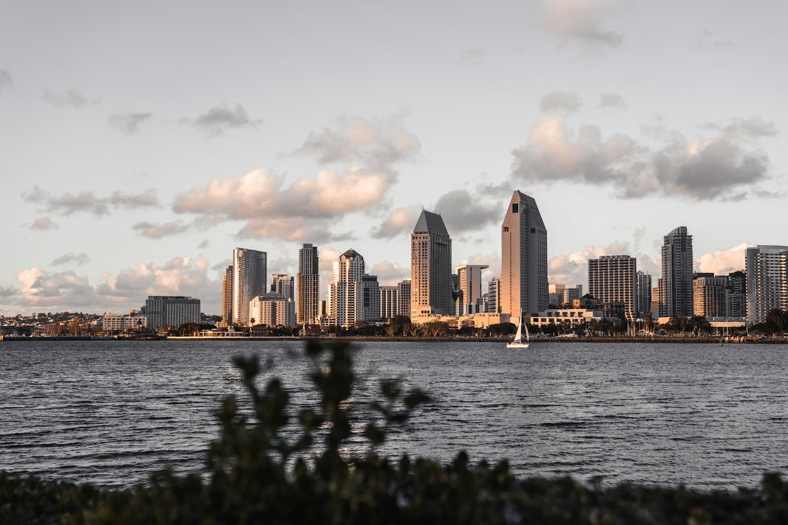
- Interstate 5 and 805 Congestion: San Diego's I-5 and I-805 corridors see daily stop-and-go traffic, particularly through downtown, Mission Valley, and La Jolla exits. High-risk drivers face steeper premiums in ZIP codes adjacent to these routes due to elevated rear-end collision and merge-related accident frequencies.
- Border Proximity and Uninsured Motorist Rates: San Diego County's proximity to the U.S.-Mexico border correlates with an uninsured motorist rate near 15%, above California's statewide average. Carriers price uninsured motorist coverage higher for drivers with violations, anticipating compounded claim risk in border-adjacent neighborhoods like San Ysidro and Otay Mesa.
- Downtown and Gaslamp District Density: Downtown San Diego, including the Gaslamp Quarter, has concentrated DUI enforcement and high pedestrian activity. Drivers with a prior DUI living or commuting through these ZIP codes (92101, 92103) typically see 10–15% higher SR-22 premiums due to heightened risk scoring by non-standard carriers.
- Coastal Weather and Visibility: Marine layer fog affects coastal routes along Torrey Pines, La Jolla, and Point Loma, especially during May and June mornings. High-risk drivers in these areas face modestly higher comprehensive and collision costs due to reduced visibility accident patterns documented by local carriers.
- Military Population and Transient Risk: San Diego's large military presence (Naval Base San Diego, MCAS Miramar) creates a transient driver population with frequent address changes and lapses. Carriers treat ZIP codes near bases (92106, 92145) as higher-risk for lapse-related surcharges, particularly for drivers already flagged with violations.
Find out exactly how long SR-22 is required in your state
Coverage Recommendations
Cost estimates are based on available industry data and vary by driver profile. These are not insurance quotes.
SR-22 Insurance
California requires SR-22 filing for DUI convictions, reckless driving, driving without insurance, and license suspensions. In San Diego, the filing itself costs $25–$50, but your underlying liability premium will increase significantly—expect $180–$350/mo depending on violation severity and whether you need continuous coverage for work commutes along congested routes.
$25–$50 filing fee; $180–$350/mo total premiumEstimated range only. Not a quote.
Liability Insurance
California mandates 15/30/5 minimum liability, but high-risk drivers in San Diego should consider 100/300/100 limits due to elevated accident risk on I-5 and downtown corridors. Non-standard carriers often require higher limits to write SR-22 policies, and San Diego's uninsured motorist exposure makes underlimits costly in multi-car pileups.
$120–$280/mo for state minimums with SR-22Estimated range only. Not a quote.
Full Coverage
Full coverage (liability + collision + comprehensive) for high-risk drivers in San Diego ranges $220–$450/mo, particularly in high-theft ZIP codes like 92113 (Logan Heights) and 92102 (Golden Hill). If you're financing a vehicle post-violation, lenders require full coverage, and San Diego's coastal fog and urban density increase comprehensive claims for high-risk profiles.
$220–$450/mo with SR-22 and prior violationEstimated range only. Not a quote.
Non-Standard Auto Insurance
Non-standard carriers specialize in DUI, suspended license, and lapse scenarios common in San Diego. These carriers (including regional California specialists) write policies standard carriers decline, often with 6- or 12-month payment plans to accommodate SR-22 filers. Expect higher down payments ($200–$500) and limited discounts until your violation ages beyond 3 years.
$180–$350/mo; $200–$500 down payment typicalEstimated range only. Not a quote.